
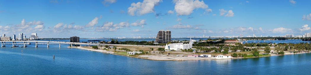
Stretching 35 miles along South Florida’s Atlantic coast, Biscayne Bay covers 428 square miles (1,110 km2). It is home to diverse marine plants and animals, including the threatened Florida manatee.
But debris, fertilizers, pesticides, pollutants, sewer and storm water and other human-made disturbances have long been damaging its health.
Tired of seeing warning to swimmers advising them to avoid contact with water, nearly 200 people gathered for the 2017 Biscayne Bay Marine Health Inaugural Summit. It was hosted June 28 at Florida International University‘s (FIU) Biscayne Bay Campus in North Miami, Florida.
“Biscayne Bay is where we live, where our children swim and play. We should prioritize understanding and correcting the problems the bay faces in order to preserve it for current and future generations,” said Todd Crowl, director of FIU’s Institute of Water and Environment. “The summit was a first step in advancing that understanding. It was a collaboration of stakeholders who, together, bring the energy and ingenuity needed to restore and manage the bay and ensure our quality of life.”
Attendees represented local businesses, colleges and universities, governmental agencies and environmental nongovernmental organizations. Their goal was to create and launch a 10-year action plan to reduce debris and pollutants in Biscayne Bay and local canals, rivers and beaches.
FIU’s Institute of Water and Environment was one of the summit’s supporting partners. Institute researchers gave presentations and led workshops, including marine ecologist James Fourqurean, aquatic ecologist Evelyn Gaiser, geologist Rene Price, ecologist Joel Trexler and wetland ecologist Tiffany Troxler.
The talks were designed to help stakeholders understand the ecological importance of and challenges to Biscayne Bay, identify its main sources of pollution, identify prevention efforts, establish collaboration among stakeholders, and share ideas, expertise, resources and solutions to support the creation and launch of the action plan.
For purposes of discussion and analysis, Biscayne Bay is usually divided into three sections: North Bay, Central Bay, and South Bay. Its area is The watershed covers 938 square miles (2,430 km2).
The North Bay of the Biscayne Bay lies between Miami Beach barrier island and Miami on the mainland. It has been severely affected over the last century by raw sewage releases, urban runoff, shoreline bulkheading, dredging, the creation of artificial islands and the loss of natural fresh water flow into the bay. However, water quality has steadily improved since regular monitoring began in 1979. North Bay accounts for only 10% of the water area of the bay.
Central Bay is the largest part of the bay. It is separated from the Atlantic Ocean by the Safety Valve. It has been adversely affected primarily by bulkheading, urban runoff discharged by canals, and the loss of natural fresh water flow.
South Bay is nearly as large as Central Bay, and is the least affected by human activities, although it also suffers from the loss of natural fresh water flow. South Bay is separated from the Straits of Florida by the northernmost of the Florida Keys, and includes Card Sound and Barnes Sound. It is connected to Florida Bay through a few small channels.
For Ross Boucek, Florida Keys Initiative Manager of Bonefish & Tarpon Trust, the summit was an opportunity to learn how to improve the health of Biscayne Bay, a lagoon that is home to ecologically and economically important bonefish, permit and tarpon.
“There are a lot of environmental problems with Biscayne Bay, but there’s such a diversity of people working to improve the bay, from FIU researchers to municipalities and volunteers, something positive will get done. It’s very exciting to see everyone communicating and working together,” Boucek said.
Photo by UpstateNYer via Wikipedia.