
Imagine there’s no highway, it’s easy if you try—even easier, since now there’s a map for that.
With this latest cartographic venture, you can make the concrete superslabs and soul-sucking underpasses that are the scourge of urbanists everywhere disappear with a mere click.
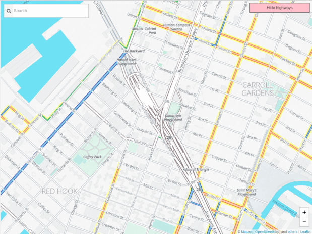
Before-after image of BQE by Jeff Sisson.
Click to see animation.
This is the vision of Jeff Sisson, a web developer at The New York Times.
You might remember him from such projects as mapping New York’s bodegas. His latest effort is called “NYC (& The World) Without Highways.”
Highway removal in real life is expensive, time consuming, and politically challenging, as New York Governor Andrew Cuomo will inevitably discover as he plots a pricey demolition of the Bronx’s Sheridan Expressway.
This new, free, open-source mapping tool should make it a lot easier.
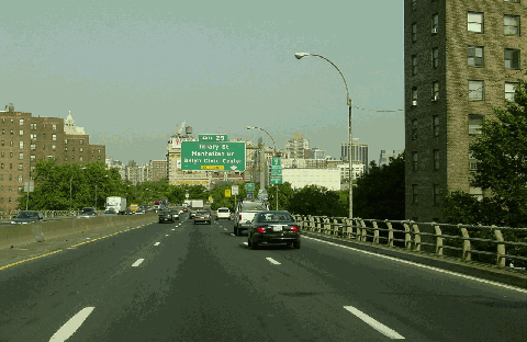
Photo of Brooklyn Queens Expressway (BQE) by Jim K. Georges via NYC Roads.