
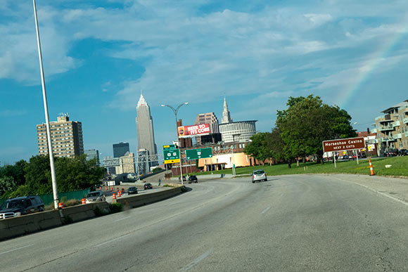
One of the major factors contributing to dysfunctional urban sprawl in Cleveland, Ohio and the Cuyahoga Valley was the development of the interstate highway system, which began after the passage of the Federal Aid Highway Act of 1956.
Accordingly, the aerial maps from 1951 provide us with a snapshot in time just after the City of Cleveland’s population reached its peak of 914,000 and just before the highway system helped usher in decades of population loss and decline.
Beyond just aiding the movement of people out of the city and into the suburbs and eventually exurbs, these images demonstrate the extent to which the Interstate Highway System devastated wide swathes of the city.
Whole neighborhoods were torn apart as homes and businesses were demolished to make way for freeways.
It would take decades for many of the neighborhoods carved up by these freeways, such as Tremont, to stem the associated decline. Other neighborhoods, such as Slavic Village and Clark-Fulton, have yet to rebound.
The images below display what some of these areas looked like in 1951 and how these same areas look today, six decades later.