
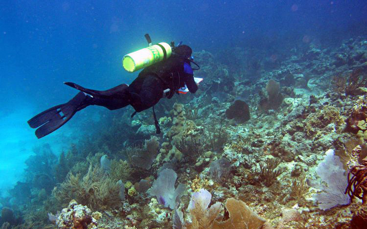
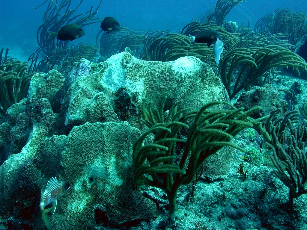
Following Hurricane Maria and a devastating winter storm, the National Oceanic and Atmospheric Administration (NOAA) helped salvage and reattach more than 7,000 coral fragments to regrow Puerto Rico’s reefs.
 NOAA also helped restore all of the damaged trails at Jobos Bay National Estuarine Research Reserve while saving more than $70,000. Even more, they provided fine-scaled flood maps and training to aid recovery and protect residents from future hazards.
Assistance came from the Office for Coastal Management’s Digital Coast, National Estuarine Research Reserves, and Coral Reef Conservation Program as well as the National Centers for Coastal Ocean Science and National Marine Fisheries Service. The Federal Emergency Management Agency was a major partner in the coral reef initiative.
Before coral reattachment, the team assessed more than 80,000 corals spanning 414,354 square miles at 153 sites.
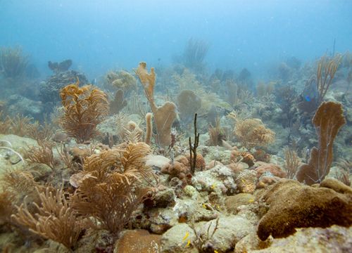 Puerto Rico’s reefs average $1.1 billion per year in economic value to the U.S. territory, says the Federal Emergency Management Agency, partly by defending against storm surge that threatens lives and costly infrastructure.
Coral reefs are essential to the tourism and recreation sector, which accounts for 87 percent of Puerto Rico’s ocean economy, according to Economics: National Ocean Watch. The territory provides 156,000 ocean-dependent jobs, an impressive number in a population that stood at just 3.3 million before Hurricane Maria.
Marine recreational fishing, which brings in $72 million per year according to NOAA Fisheries, is highly dependent on healthy reefs—as are snorkeling, marine tours, and the commercial fisheries that catch red snapper, lobster, and octopi, signature dishes in Puerto Rico’s finest restaurants.
Trails for miles
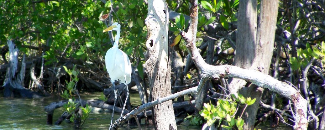
Hurricane Maria devastated six interpretive trails winding through the 2,883-acre Jobos Bay Research Reserve, which protects one of the territory’s largest and most important estuaries.
Research reserve staffers nationwide—with funds from the National Estuarine Research Reserve Association—joined volunteers to log 3,293 hours restoring trails, saving an estimated $73,554 in labor costs.
Hikers once again can view the unspoiled mangroves and lagoons that shelter the endangered yellow-shouldered blackbird, hawksbill sea turtle, and West Indian manatee.
NOAA’s Digital Coast initiative provided updated, higher-resolution flood maps now compatible with the Federal Emergency Management Agency’s latest base flood elevation maps, as required by the U.S. Congress in its hurricane supplemental funding.
 The maps enable people to “see” storm surge, high tide flooding, sea level rise, and tsunami scenarios.
Training in Coastal Inundation Mapping also benefited 43 municipal officials and representatives from the University of Puerto Rico, Puerto Rico Sea Grant, Puerto Rico’s Department of Natural and Environmental Resources, and the Federal Emergency Management Agency.
The Federal Emergency Management Agency supported the coral reef initiative, and the National Estuarine Research Reserve Association provided critical financial and volunteer support for trail restoration. Trail volunteers also came from North Carolina’s Mars Hill University and a San Juan corporation.
All photos are courtesy of NOAA. Featured photo shows the Jobos Bay National Estuarine Research Reserve.