
For almost a century, the Los Angeles River’s essential function has been singular in focus–to protect the residents of the river basin from the rare but potentially devastating flood. There has never been a better opportunity to reinvest in, reimagine the use of, and transform the future of the LA River for the greater good of our region. The time has come for us to create more than a river of concrete:
- A revitalized waterway safely enhancing the quality and quantity of water flowing through our region.
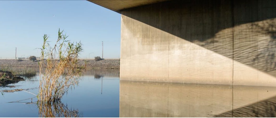
- A reimagined landscape providing abundant parks and open space while nurturing our region’s natural biodiversity.
- A connected network of neighborhoods uniting our region with improved mobility and shared access to arts, culture, recreation and community programming.
In Fall 2014, an integrated team comprising River LA, Gehry Partners, OLIN and Geosyntec Consultants embarked on a journey to synthesize the vast array of existing data surrounding the Los Angeles River. Our goal was to build upon 25 years of work by creating a single, equitable framework for use in evaluating the river’s possibilities across all 51 miles, to spur fundraising and inform responsible design. The LA River Index is the product of that work.
The LA River Index is meant to be a shared resource by which to inspire, enhance and evaluate future work on the LA River. It is part of a robust strategy to engage the many agencies, jurisdictions, and broader public in the river project. The borders of seventeen cities lie within one mile of the LA River. Our team is in the process of meeting with each city to understand their opinions and goals for their relationship with the LA River. In addition, we consulted with State, County, City and regional elected officials, peer organizations and technical experts to provide a 51-mile perspective on our work to date.
The effort was supported in part by the Santa Monica Mountains Conservancy and the Rivers and Mountains Conservancy along with the philanthropic sector as well as private individuals.
Our team compiled a preliminary set of tools to assist designers, advocacy groups, policy makers and public service agencies as they evaluate opportunities along the LA River. This toolset provides a distinct, integrated set of elements to measure and quantify the existing conditions of the LA River, illustrate precedent examples, identify a kit of parts for interventions and display mechanisms by which to fund projects.
The work to date by our team relies on efforts by various authorities, designers, technical and advocacy groups over the past 25 years. Our research and work builds on these existing and ongoing efforts. After reading most of the major master plans, we realized that it would be useful to coordinate the objective data in each plan to a common set of categories, as represented in this study.
Below we provide the tools created to date as well as a comprehensive list of the primary resources and work used, referenced, and/or from which we have learned along our journey.