
We’ve long documented the myriad adverse effects and unintended consequences of unplanned and badly-planned urban sprawl here in REVITALIZATION, and have revealed how intelligent, responsible redevelopment of existing communities can revitalize places while reducing sprawl.
Now, new research reveals yet another downside of sprawl.
Current flood risk mapping, relying on historical observations, fails to account for increasing threat under climate change.
Incorporating recent developments in inundation modelling, here we show a 26.4% (24.1–29.1%) increase in US flood risk by 2050 due to climate change alone under RCP4.5.
This national depiction of comprehensive and high-resolution flood risk estimates in the United States indicates current average annual losses of US$32.1 billion (US$30.5–33.8 billion) in 2020’s climate, which are borne disproportionately by poorer communities with a proportionally larger White population.
The future increase in risk will disproportionately impact Black communities, while remaining concentrated on the Atlantic and Gulf coasts.
Furthermore, projected population change (SSP2) could cause flood risk increases that outweigh the impact of climate change fourfold.
These results make clear the need for adaptation to flood and emergent climate risks in the United States, with mitigation required to prevent the acceleration of these risks.
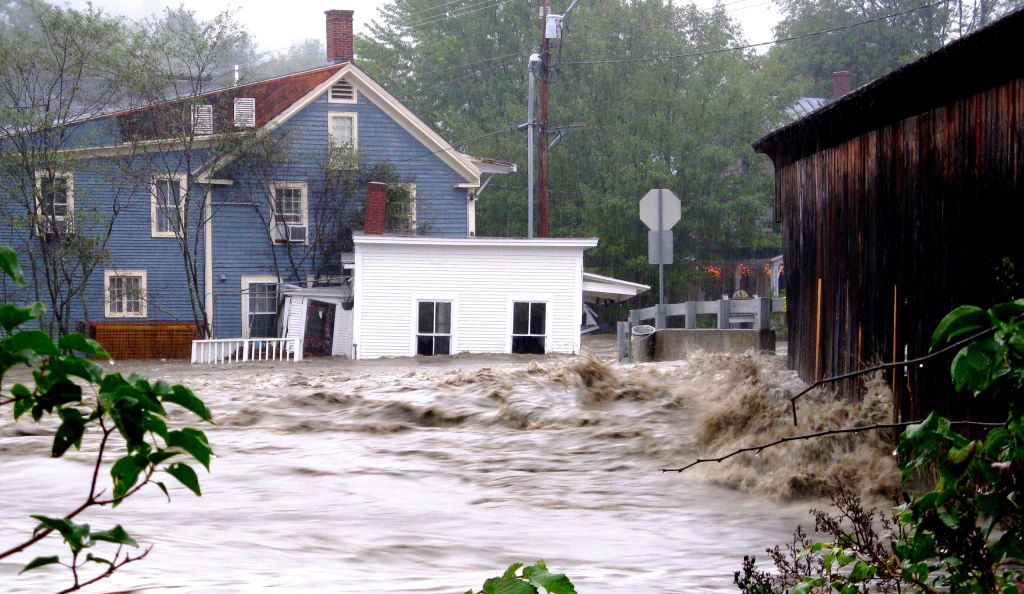
Photo of Hurricane Irene courtesy of USEPA.