
Trails allow people walking and biking to travel fully separated from threatening automobile traffic. While highways and high-stress streets isolate the areas caught between, trails connect neighborhoods, stitch together communities and allow people to reach their destinations on traffic-stress-free routes for walking and biking.
Many new technologies have been emerging recently that help places revitalize by better-connecting stakeholders online. Rails-to-Trails Conservancy’s BikeAble™ tool helps them reconnect physically, not just online.
It examines the connectivity of networks of streets and trails for people to bike or walk. For Milwaukee, Wisconsin, it reveals how two new trails and extension projects could disproportionately improve connectivity for residents within a long-disadvantaged area of the city.
Milwaukee is home to amazing trail facilities, but those trails do not reach residents in the north-central or south-central neighborhoods of the city. These communities are left isolated by physical barriers and unsafe streets, reinforcing patterns of segregation and inequity in the city. Opportunities for new trails exist that would better connect these communities and stitch them back into the fabric of the larger city.
Only about 24 percent of Milwaukee residents live within 2 miles of a trail. This is the maximum distance that most people are willing to bike. In the neighborhoods experiencing inequality, that percentage falls to just 8 percent. But adding the same two new pieces of trail infrastructure—the 30th Street Corridor and Kinnickinnic River Trail—along with extensions of existing trails, will increase access to 59 percent for residents citywide and 66 percent for residents in the targeted area.
This means that in neighborhoods experiencing inequality, the number of residents able to access a trail would jump from 25,000 to 200,000.
But trails aren’t just a way to revitalize by reconnecting them internally. Many times, it’s regional connections that make the biggest difference to a city’s fortunes. SouthEast Wisconsin has the emerging Route of the Badger trail that Milwaukee could connect with. This regional trail systems offers a vision of healthy, thriving communities in Southeast Wisconsin centered around a world-class, 500-mile-plus regional trail system that connects people across towns and counties.
Southeast Wisconsin is home to 340 miles of existing trail, which means that a relatively small investment that builds upon existing infrastructure can improve the connectivity of the trail system, better connecting people to the places they want to go. This approach to trail-system development is a placemaking strategy that positions trails as community necessities, rather than nice-to-have amenities. When more people can use trails to get where they want to go, the benefits to the economy, public health and transportation become the foundation of healthy, sustainable communities.
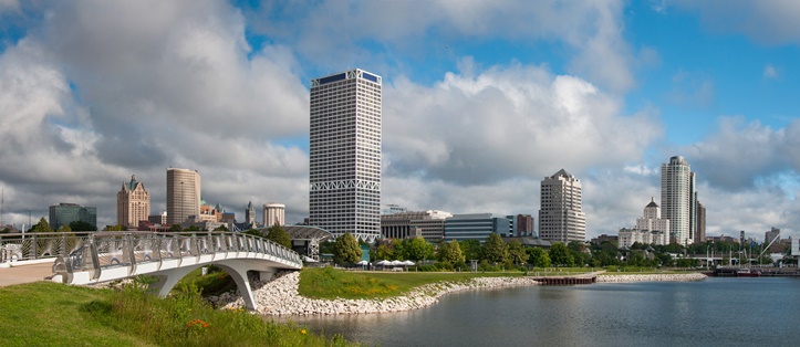
Photo of Milwaukee via Adobe Stock.
See the Reconnecting Milwaukee website and learn more about the Bikeable™ tool.