
On November 1, 2018 at the GEO Week Congress in in Kyoto, Japan, the Group of Earth Observations launched a new, innovative initiative to advance the use of Earth Observation (EO) data to both prevent land degradation and restore previously degraded landscapes. Germany immediately pledged $113,000 (US) to support the initiative.
Welcoming the Initiative, Jennifer Morris, President of Conservation International said, “it is time to move from measurement and monitoring to action. From Conservation International’s experience in the field we know restoring nature is an important piece of building healthy lands that can support productive and sustainable landscapes. Earth observation, and tools like Trends.Earth, can support local and national governments in prioritizing and implementing restoration actions.”
Over 75% of the world’s land surface is significantly impacted by human activity. The consequences are evident in more and severe droughts, high loss of wildlife and new trends in internal displacement and forced migration. Inaction on land degradation for most of the 169 countries affected by land degradation is due to the lack of accurate data and the tools to monitor it. In a landmark decision, the Group of Earth Observations (GEO) has launched a new, innovative initiative that will put Earth Observation (EO) data in the hands of national and local decision makers, addressing this need.
The GEO LDN Initiative unveiled in Kyoto will bring together Earth Observation data providers and governments to develop the quality standards, analytical tools and capacity building needed to strengthen land degradation monitoring and reporting, using remote sensing and data collected on site. At the touch of a button, governments will have the right data to prioritize interventions and monitor outcomes in order to plan and manage land better. Following the announcement, Germany pledged an initial contribution of EUR100,000 (USD113,000) for the initiative.
To date, 119 governments have pledged to take the measures needed to avoid, halt and reverse land degradation to ensure the amount of productive land stabilizes by 2030 and beyond.
“The world is gripped by a growing sense of crisis regarding the sustainability of the global environment, and the deteriorating global environment affects our daily life. Within this context, we are being tasked with taking action, as ‘global citizens’, against the various global issues that cannot be solved by one country alone,” said Keiko Nagaoka, Japan’s State Minister of Education, Culture, Sports, Science and Technology, when he opened the GEO 2018 Congress.
GEO, an intergovernmental organization whose mandate is to improve the availability and sharing of data on Earth observations to benefit all life on Earth, is made up of government, academic and research institutions, data providers, businesses, engineers, scientists and experts who share data to create innovative solutions to pressing global problems.
“Land degradation is an existential crisis. Until now, monitoring it in real time felt like an insurmountable challenge. No longer. With Earth observation datasets and the practical tools to use them readily available, decision-makers and land users will have immediate and actionable information to scale up sustainable land management and planning. It is a first step to boosting our resilience,” said Monique Barbut, Executive Secretary, United Nations Convention to Combat Desertification.
The Initiative responds to a call made from the UNCCD’s Conference of the Parties last September to bring data providers and data users together to support global efforts to avoid, reduce and reverse land degradation globally.
To ensure the initiative gets off to a flying start, three Working Groups emerged from the discussions in Kyoto. One will focus on building national capacities; the second will develop data quality standards and protocols for the SDG indicator land degradation (15.3.1) and its sub-indicators; and, the third will establish platforms with high computing capacities so partners can collaborate on big data analytics, such as open data cubes.
According to Barron Joseph Orr, Lead Scientist, United Nations Convention to Combat Desertification, “if the ability to process, interpret and validate geospatial data can be enhanced, it would lead to real national ownership. UNCCD Parties are clear about their data needs so delivering for governments and local communities will drive the work program of the new GEO LDN Initiative.”
The partnership and cutting edge technology developed for the GEO LDN initiative will move efforts to achieve the Sustainable Development Goals target on land degradation into the fast lane. The target of achieving land degradation neutrality is widely accepted to be an accelerator and integrator for achieving the other 17 Goals.
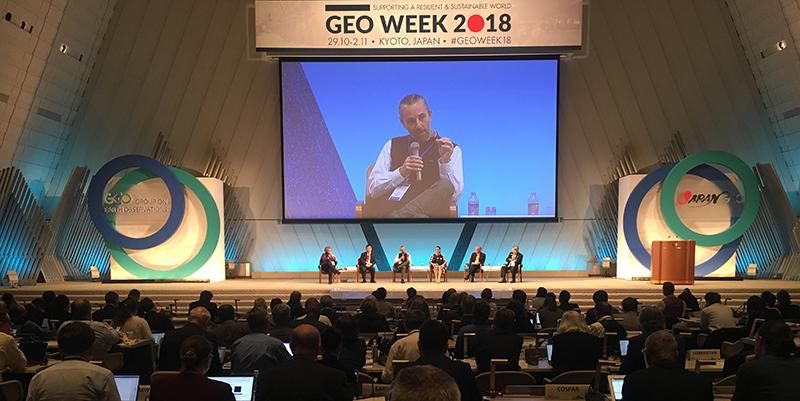
Photo of announcement being made at the GEO Week Congress courtesy of UNCCD.