
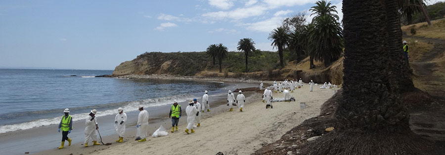
On May 19, 2015 on the coast north of Los Angeles, California, an on-shore pipeline (Line 901) owned by Plains All-American Pipeline ruptured and released more than 123,000 gallons of heavy crude oil.
The oil flowed through a culvert under U.S. Highway 101 and adjacent railroad tracks, and approximately 53,000 gallons reached the Pacific Ocean polluting state beaches that included Refugio and El Capitan. The oil then reached other beaches as far south as Los Angeles County.
Now, five years later—on April 22, 2020—the draft Damage Assessment and Restoration Plan for the Refugio Beach Oil Spill NRDA was released for public comment.
NOAA’s Damage Assessment, Remediation, and Restoration Program (DARRP) led the assessment and restoration planning effort for NOAA as part of a group of state and Federal Trustees.
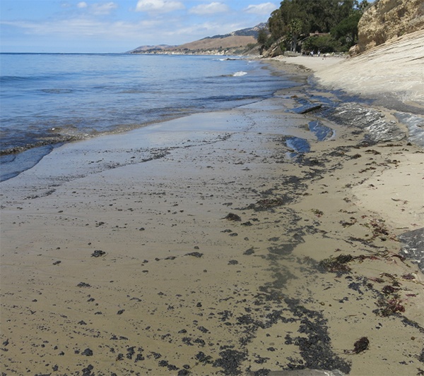
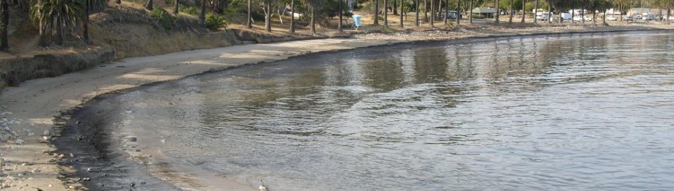
Beach following Refugio oil spill.
The plan describes impacts of the spill to birds, marine mammals, subtidal and shoreline habitats, and impacts to human-use and describes restoration projects proposed to compensate for those injuries.
Staff from all divisions of OR&R contributed to the assessment and restoration selection since 2015.
In addition to general case development and natural resource expertise, these contributions include providing response information and products, conducting additional modeling, managing case data, preparing cost documentation, contract support, and contributing to restoration selection.
 The Trustees have a proposed settlement with Plains All-American Pipeline for $22 million to conduct and oversee these restoration projects.
The Public comment period is open through June 8, 2020.
The draft plan describes how the oil spill injured birds, marine mammals, and marine habitats, and impacted human uses, like recreation and beachgoing. The plan proposes $22 million in restoration projects to restore the wildlife and habitats, and to compensate the public for the impacts to recreation.
The Trustees developed the draft plan based on a multi-year assessment that started in 2015. Along with their own scientific experts, they solicited public input from academia, land managers, and other community stakeholders to understand how the spill affected the surrounding resources.
All photos are courtesy of NOAA.