
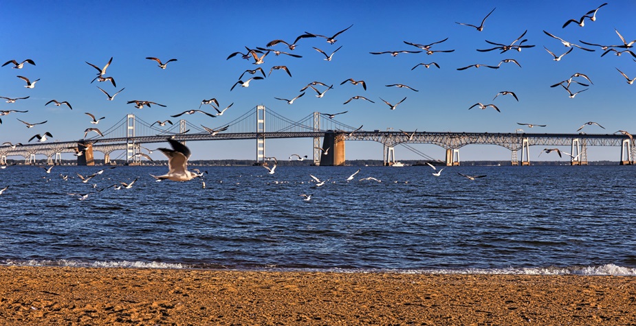
The Chesapeake Bay watershed spans 64,000 square miles across six US states and the District of Columbia. To manage the environment in this vast area, having accurate land-use and land-cover information is imperative.
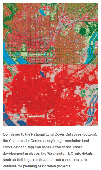
Existing datasets, such as the National Land Cover Database (NLCD), have been extremely useful in identifying priority zones throughout the watershed that are in need of conservation and restoration. This data, however, often lacks the resolution required to examine, track, and identify fine-scale trends or make parcel-scale decisions that focus on restoration efforts.
 Recognizing the importance of having data-sets that can achieve these goals, some counties and municipalities commissioned small-scale initiatives to produce high-resolution land-cover information for areas under their jurisdiction.
While this information has aided local decision-making, the land-cover classification categories differ across boundaries, as do data accuracy and resolution. The data wasn’t widely available either, which made it difficult to use high-resolution land-cover data for larger policy making and restoration endeavors.
To bridge the gap between local and regional efforts, the Chesapeake Conservancy, a nonprofit organization based in Annapolis, Maryland, proposed a project to create consistent high-resolution land-cover data for all 206 counties that comprise the Chesapeake Bay watershed area.
Using ArcGIS®, the conservancy and its partners developed a dataset that makes it easier to pinpoint high-priority restoration and conservation areas. The Chesapeake Conservancy is also collaborating with the Chesapeake Bay Program (CBP) and the US National Park Service to use the dataset to implement environmental projects in the area.
Given that water quality regulations such as the Total Maximum Daily Load (TMDL) underlie most of the restoration work done in the Chesapeake Bay watershed, this new dataset has quickly become essential. It gives CBP, the conservancy, and the watershed’s environmental stakeholders the technological power to make effective decisions about where to target their restoration efforts.