
Large contiguous areas of natural habitat can provide communities with enhanced protection and buffering from the growing impacts of sea-level rise, changing flood patterns, increased frequency and intensity of storms, and other environmental stressors.
The new Regional Coastal Resilience Assessment from the National Fish and Wildlife Foundation (NFWF) identifies Resilience Hubs—areas of open space surrounding the densest population centers and immediate community infrastructure where conservation projects may have the greatest potential to benefit both human community resilience and fish and wildlife—throughout the U.S. Atlantic, Gulf of Mexico, and Pacific coastlines.
The assessment combines human community assets, flooding threats, and fish and wildlife resources.
Findings from the Regional Coastal Resilience Assessment are now available through the Regional Coastal Resilience Assessment Report and the interactive Coastal Resilience Evaluation and Siting Tool (CREST). (see links below)
These resources can be used by community planners, conservation organizations and others to make informed decisions about the potential of restoration, conservation or other resilience-related projects to achieve dual benefits for people and wildlife.
While CREST is not meant to supplant ongoing or completed state and community level coastal restoration and protection plans, such as the Louisiana Coastal Master Plan, communities may want to investigate the tool for Resilience Hubs where conservation projects can achieve dual benefits for human community resilience and fish and wildlife.
The assessments were developed in partnership with the National Oceanic and Atmospheric Administration and UNC Asheville‘s National Environmental Modeling Analysis Center, and in consultation with the U.S. Army Corps of Engineers.
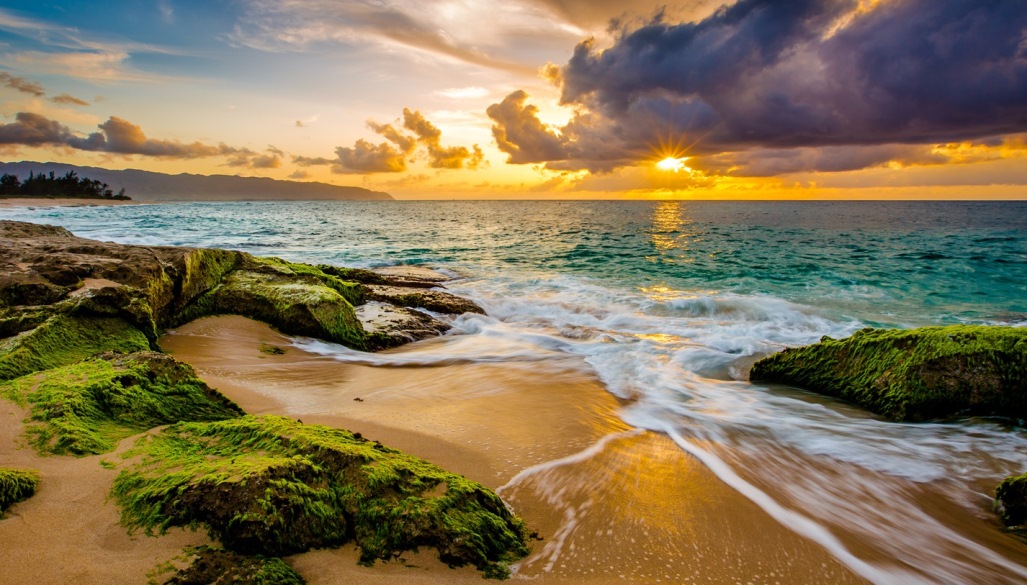
Through the National Coastal Resilience Fund, additional assessments are underway for Alaska, Hawaii, the Commonwealth of the Northern Mariana Islands, Puerto Rico and the U.S. Virgin Islands.
In addition to the regional assessments, NFWF partnered with NatureServe to conduct in-depth, local assessments within eight targeted watersheds. The results of the Targeted Watershed Assessments can also be viewed in CREST and explored in more detail through individual Targeted Watershed Reports.
Photo of Hawaii coast via Adobe Stock.
See Regional Coastal Resilience Assessment report (PDF).